 from 2 500 THB
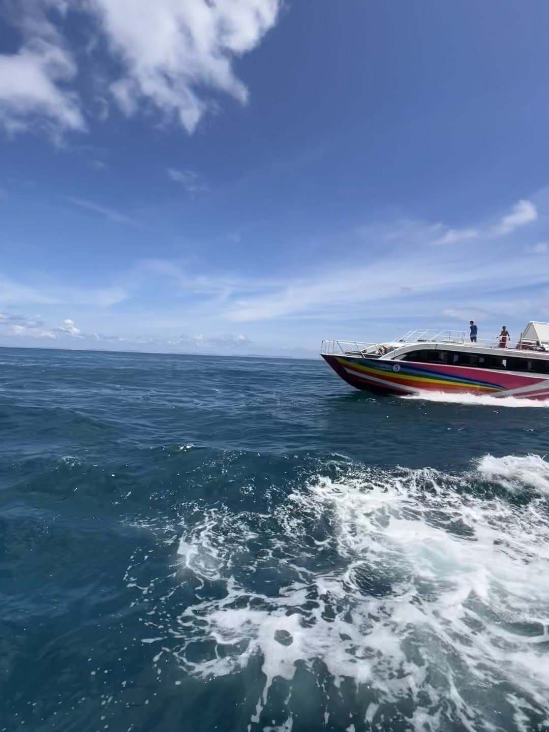
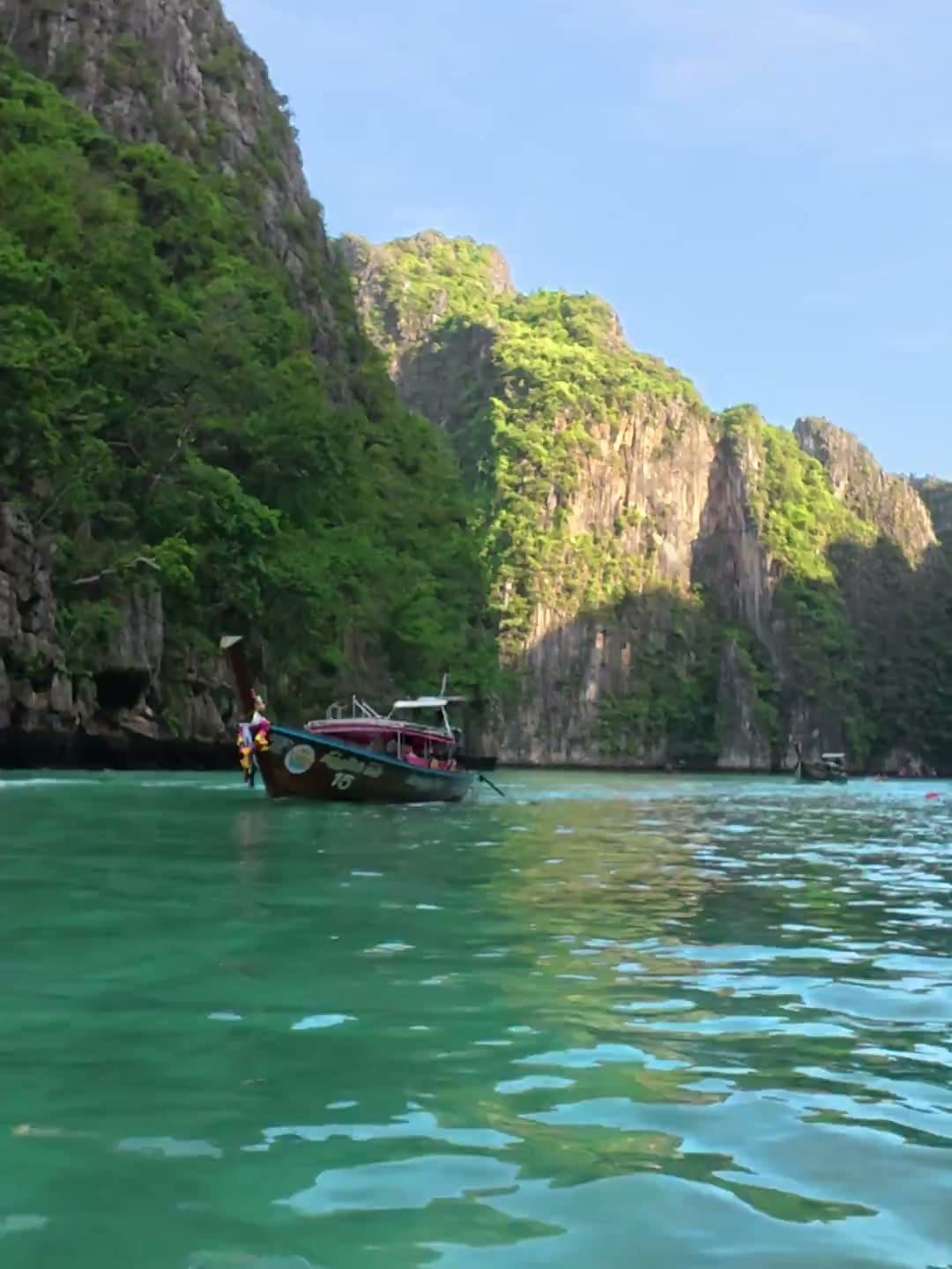
Private long tail boat
Your captain. Your time. Your coves.
6 h

the other face of Phi Phi…
The northern crossing: the local village, the mangroves and the long quiet beach
Move the map, tap the points of interest
GPS track recorded on the ground by our team, updated August 22, 2026. The GPX is free to reuse (blog, forum, app) with a link back to this page.


01
Tonsai → the turn-off
01
Leave the village northward along Loh Dalum, then climb gently on the concrete path. At the "Nui Beach" fork, keep straight on north, the Nui Bay trail branches left.
02
The path follows the island's spine through the vegetation, with glimpses of both coasts. It's the easiest-rolling stretch of the route, you make good progress, shaded in sections.
03
The descent lands in the local village: simple houses, a mosque, chickens and fishing nets. This is where much of the island's population lives, smile, say hello, and dress respectfully passing through.
04
Between the village and the beach, the trail skirts the mangrove flat, mangrove trees, fiddler crabs and wading birds at low tide. The best nature-photo spot of the route.
05
800 metres of sand fringed with coconut palms, a few long-tails, one or two discreet resorts and hardly anyone. Calm swimming, a superb sunset, and a taxi-boat home.
Taxi-boat from the arrival beach or a private long-tail at the exact time you want, our boats complete the hike.
the other face of Phi Phi…
Taxi-boat from the arrival beach or a private long-tail at the exact time you want, our boats complete the hike.
This is the hike that shows the island's other face: leave the buzz of Tonsai on the northern ridge trail, drop down to Ao Loh Bakao, the village where Phi Phi's fishing families actually live, far from the bars and shops, then skirt the mangroves before landing on 800 metres of quiet beach lined with long-tails. 3.7 km of real local life, greenery and calm: the perfect counterpoint to the island's south.

What to do on Koh Phi Phi in 2026: 12 must-sees from our team on the island
The complete guide to things to do on Koh Phi Phi, written by our team based on the island: Maya Bay, island hopping, snorkeling, diving, viewpoint, sunsets and plankton, Bamboo Island, nightlife in Tonsai. When to go, how long, and how to avoid the crowds.
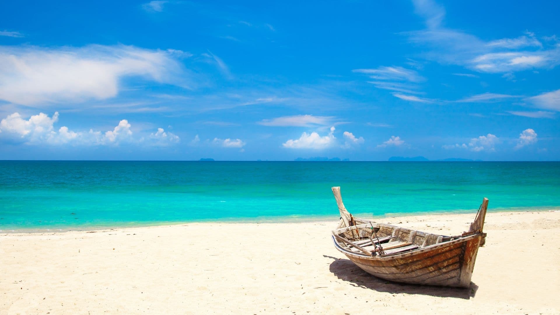
The most beautiful beaches of Koh Phi Phi: our 2026 guide
Our tour of the most beautiful beaches of Koh Phi Phi: Tonsai, Loh Dalum, Long Beach, Nui Bay, Bamboo and Maya Bay. Where to swim, where to find calm, where to see the sunset in 2026.