



The short answer
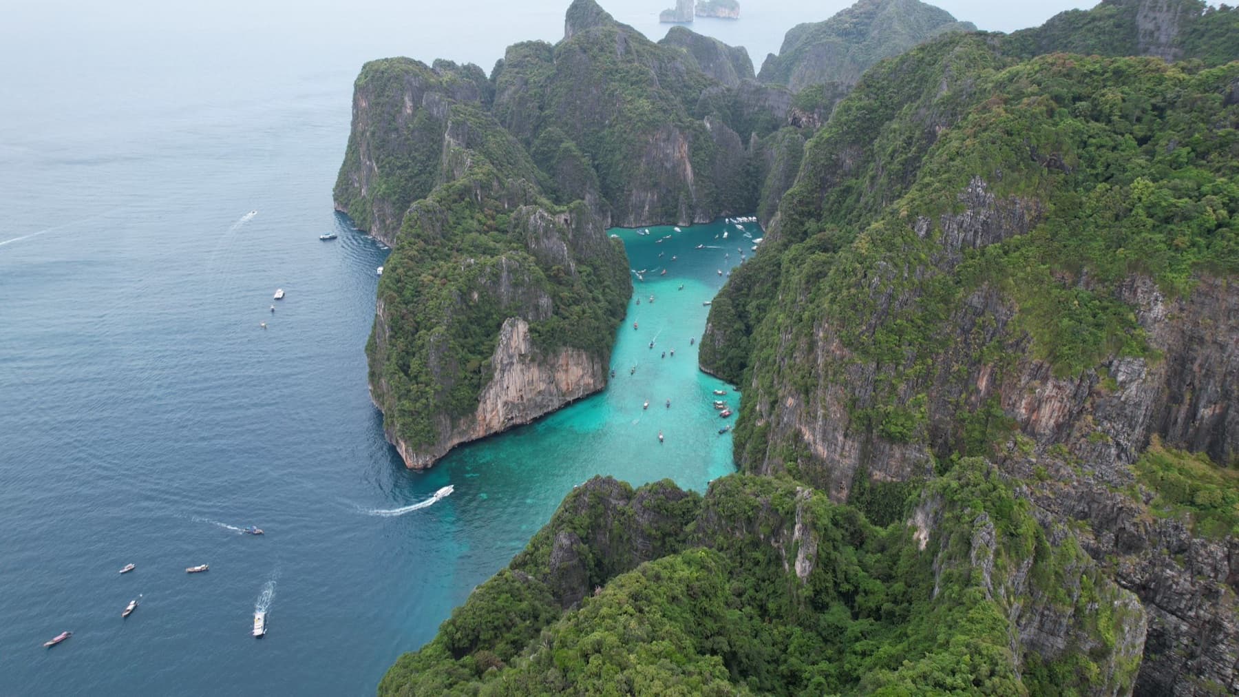
On 26 December 2004, the Indian Ocean tsunami, triggered by a magnitude 9.1 earthquake off Sumatra, struck Koh Phi Phi Don. Hundreds of residents and visitors lost their lives, and most of the village of Ton Sai was destroyed.
The island has been rebuilt. Today it has evacuation routes signposted to higher ground and a national warning system. Such an event remains rare, and the right habit is simple: check your evacuation route when you arrive.
Why Phi Phi was hit so hard
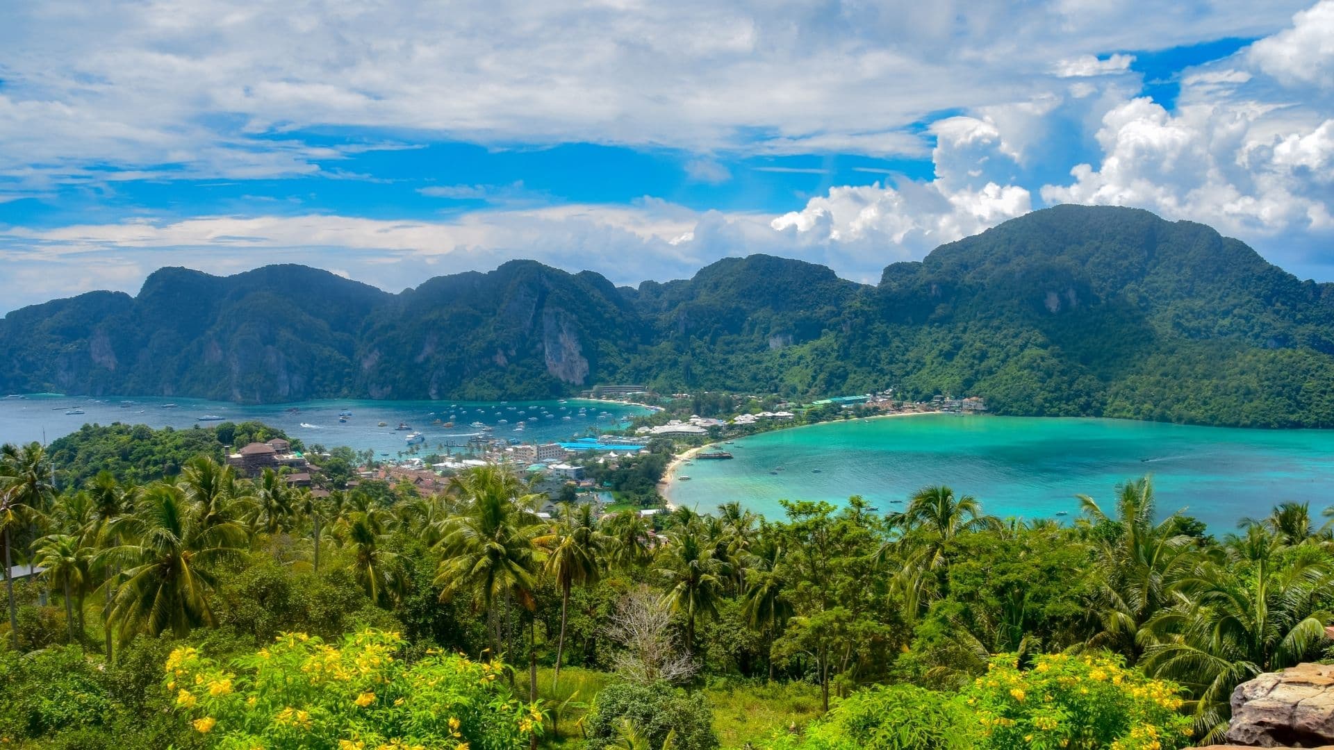
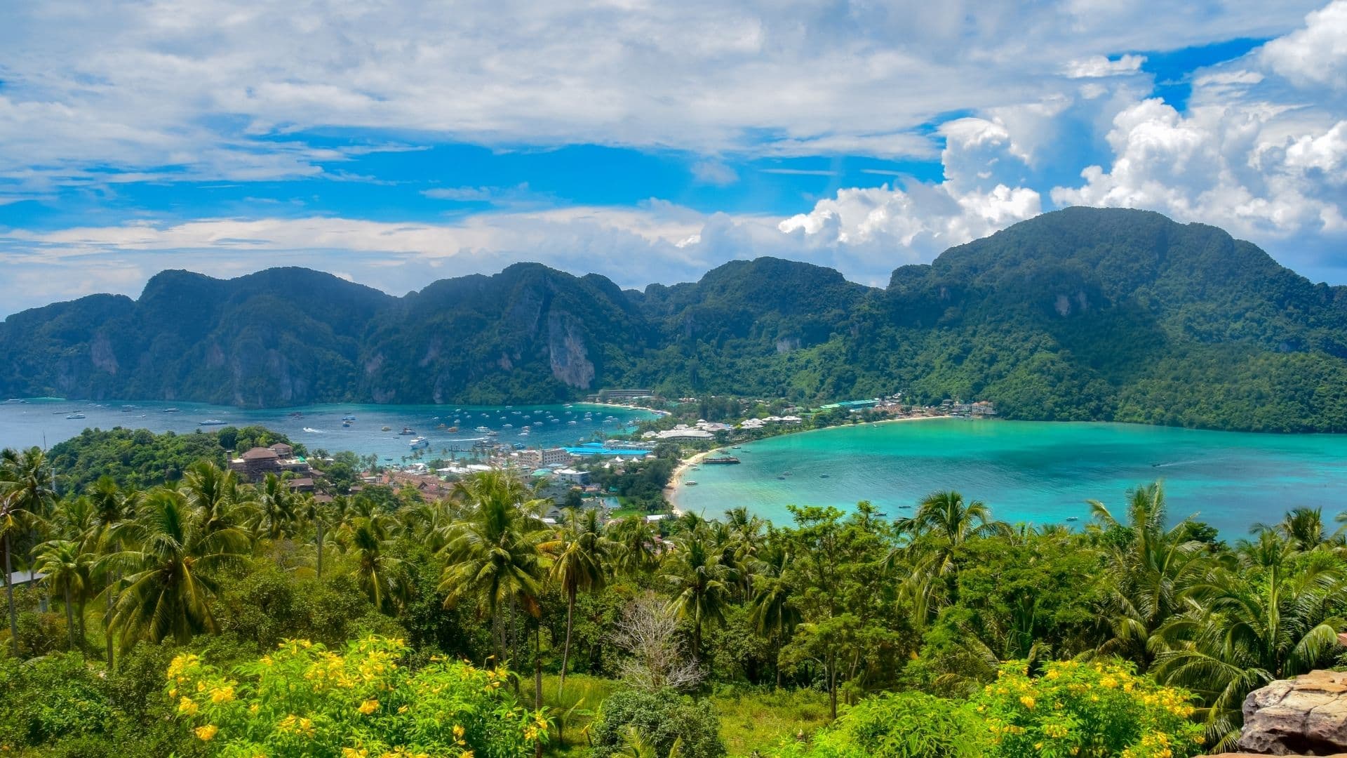
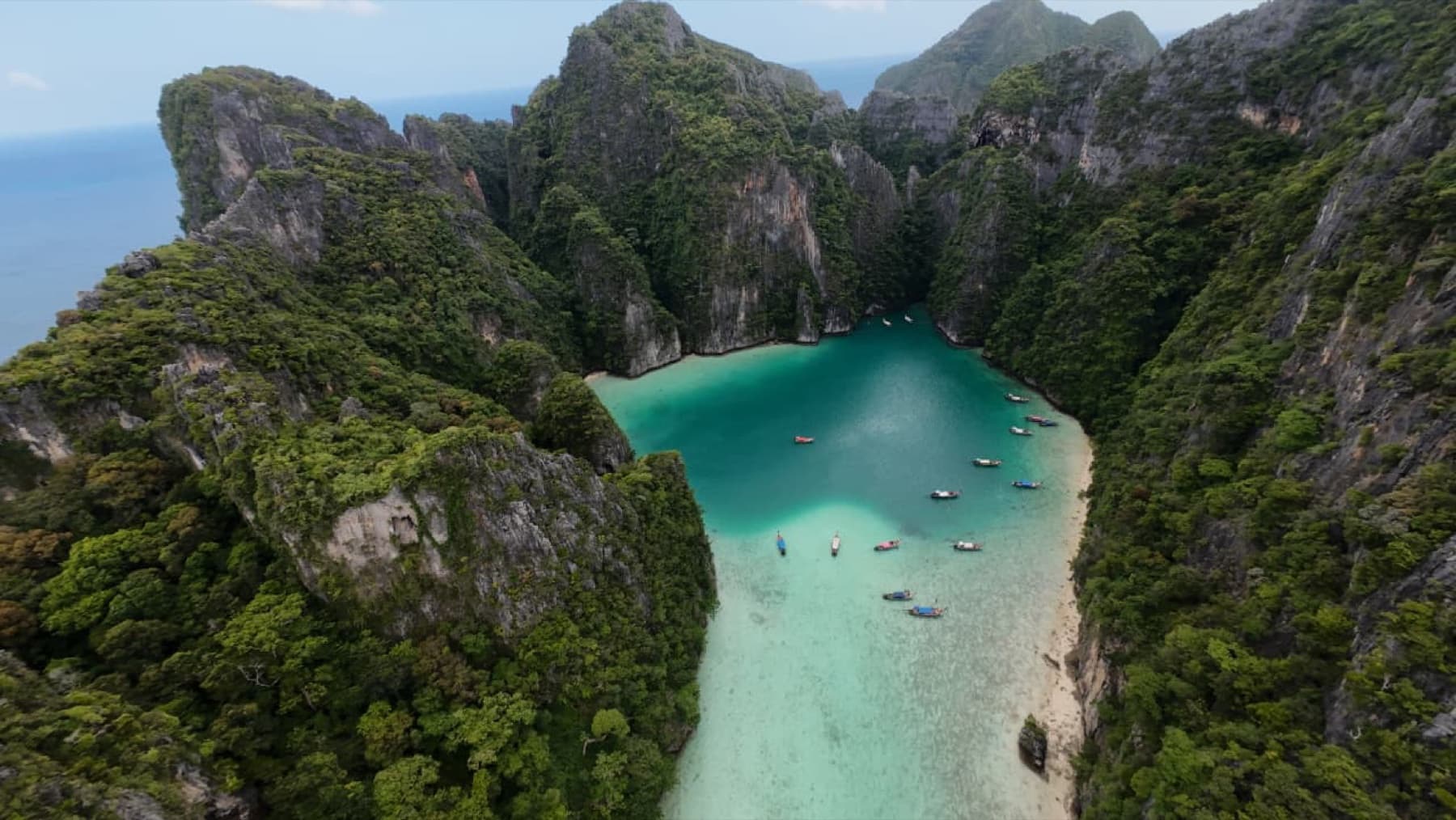
Koh Phi Phi Don is shaped like a dumbbell: two hilly halves joined by a narrow, low strip of sand where the village sits. On one side is Ton Sai Bay, on the other Loh Dalum Bay. On the morning of 26 December the waves came in from both sides and swept across the isthmus. Those who reached the hills, including the viewpoint path, found refuge there.

The rebuilding
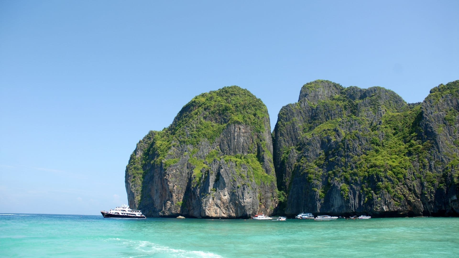
In the months and years that followed, residents and volunteers from around the world cleared and rebuilt the village. Today's Ton Sai is busier and more built-up than before 2004: guesthouses, restaurants, bars, and evacuation signs in the streets.

Is Phi Phi safe today?
- Large tsunamis are rare. After 2004 Thailand created a national disaster warning centre and installed warning towers along the Andaman coast.
- On the island, blue Tsunami Evacuation Route signs point the way to higher ground, including towards the Phi Phi viewpoint.
- The habit: if you feel a strong, long earthquake on the coast, or the sea suddenly pulls back, go uphill straight away, without waiting for a siren.
For the other safety questions (sharks, jellyfish, currents), see is Phi Phi safe?.
Where to stay if it worries you
If it puts your mind at rest, pick a place on the hillside above Ton Sai or near the viewpoint path. Our where to stay guide compares the areas. And feel free to message us on WhatsApp: our team lives on the island and answers any practical question.